Urban development · 5 min
The Metropolitan Strategic Plan and Western Antioquia
FincaHouse Team · October 26, 2026
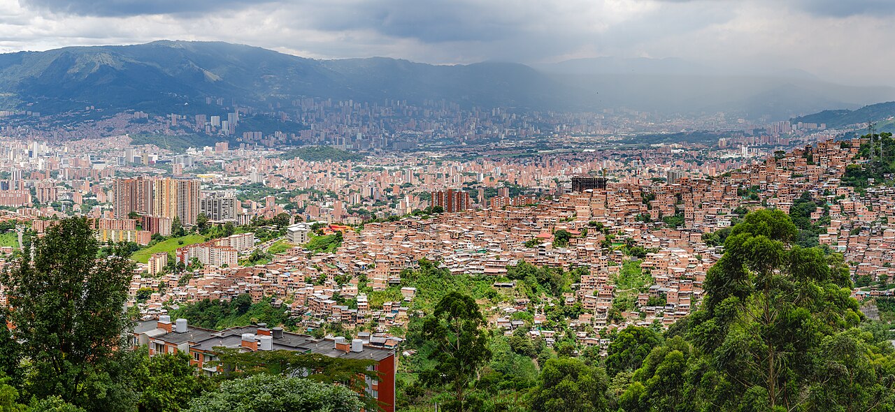
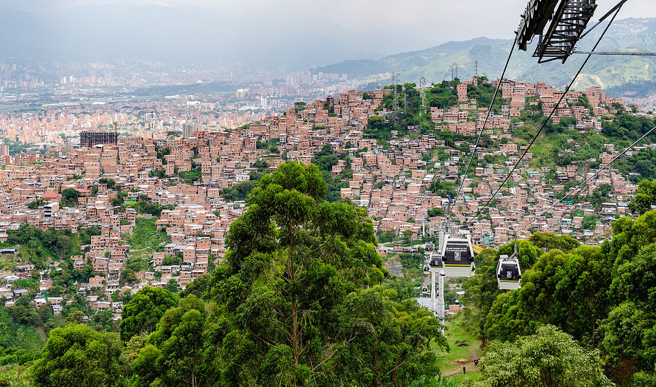
The relationship between the PEMOT (the Aburrá Valley's Metropolitan Strategic Land-Use Plan) and western Antioquia is defined by the expansion, connectivity and regional integration of the Aburrá Valley, Antioquia's main metropolitan area, toward this neighboring subregion.
The PEMOT is a planning instrument specific to metropolitan areas. The Aburrá Valley Metropolitan Area (AMVA) adopted it through Metropolitan Agreement 31 of 2019, under the name "The Aburrá Valley, an integrated and sustainable territory", in force until 2032. Its scope is the ten municipalities of the valley, but the plan looks beyond them: western Antioquia matters to it because of urban sprawl and shared infrastructure.
The relationship shows up in the following strategic areas.
Land-use model and regional centers
The PEMOT sets out a growth model that goes beyond traditional geographic boundaries. To avoid disorderly urban saturation, it proposes strengthening development hubs outside the valley; its article 6 refers to "strengthening the regional centers of the municipalities of Rionegro and Santafé de Antioquia".
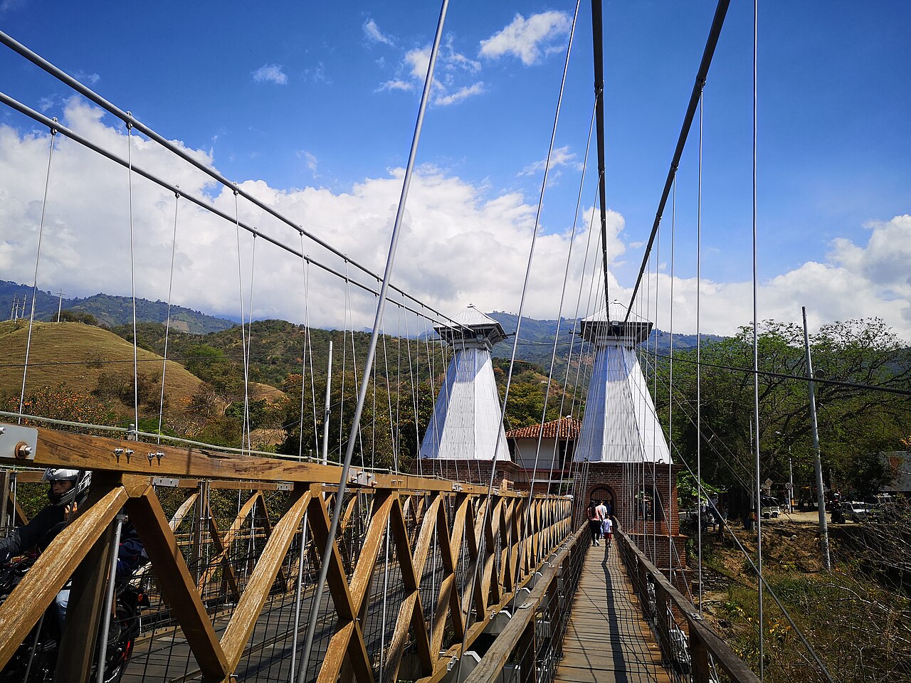
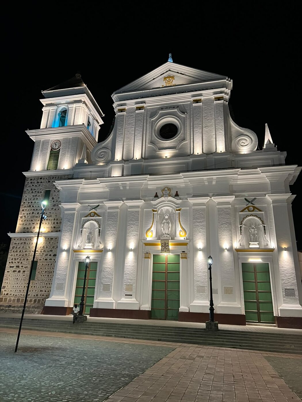
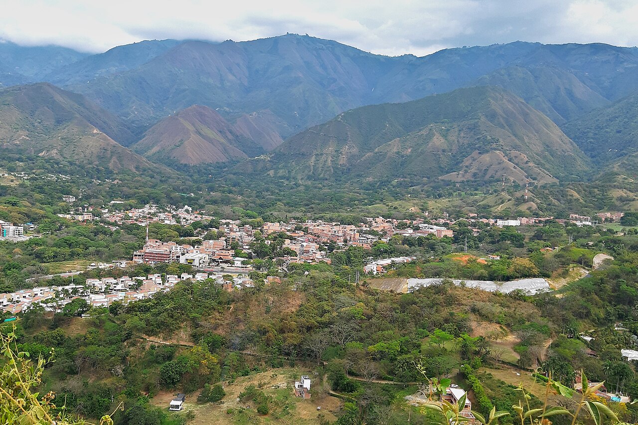
In the west, that regional center is Santa Fe de Antioquia. The plan gives it the role of linking the metropolitan area with western and northern Antioquia, hosting services and jobs that support the region, and organizing its suburban growth (article 10). Together with San Jerónimo and Sopetrán, which share the same road corridor, the area takes in housing, second-home tourism and logistics activity that ease population pressure on the valley.
Roads, logistics and competitiveness
Western Antioquia is the natural corridor that connects the Aburrá Valley with Urabá and its ports, including Puerto Antioquia, which began commercial operations in February 2026. The PEMOT identifies Santa Fe de Antioquia as a link with the Urabá ports (article 15) and sets out to "improve connectivity with the nearby western region" (article 14).
The Túnel de Occidente (Western Tunnel) and the Autopista al Mar 1 highway, part of the Autopistas para la Prosperidad program, have considerably shortened travel times between Medellín and towns such as San Jerónimo, Sopetrán and Santa Fe de Antioquia. The first tunnel was built in 2006, and the second one, 4.6 kilometers long, opened in August 2022. That proximity speeds up urbanization and the arrival of new activities, processes the PEMOT proposes to manage in agreement with the towns that receive them.
Environmental coordination and the Cauca River
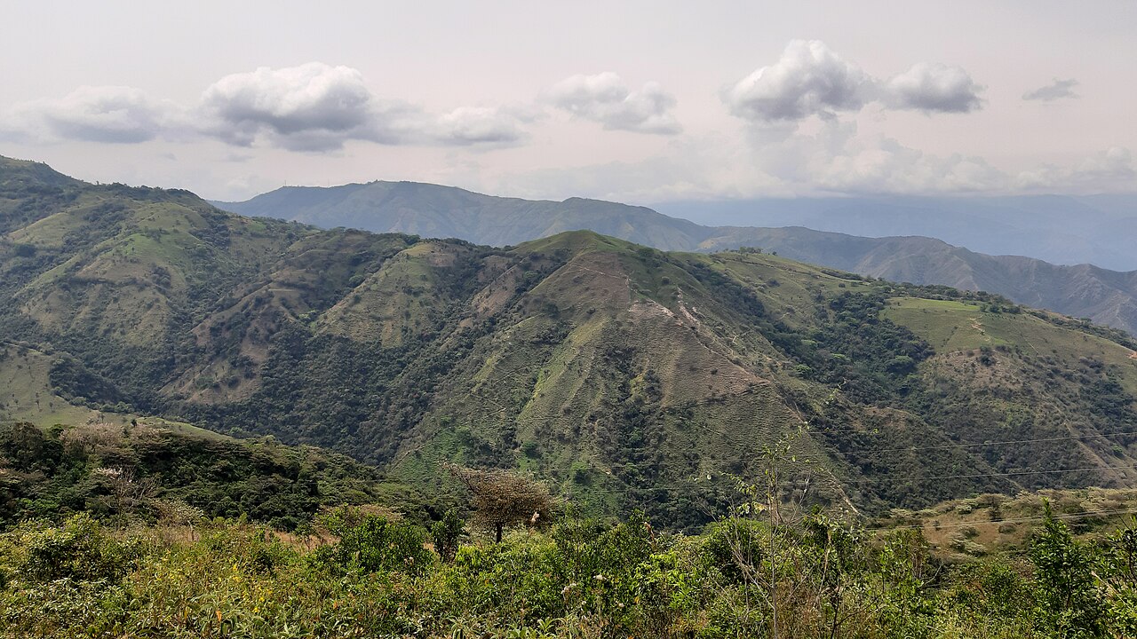
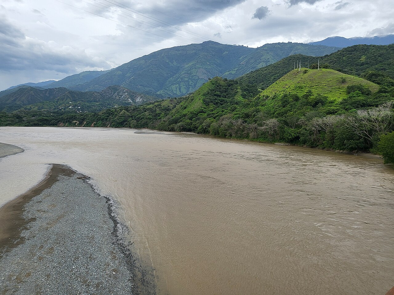
The PEMOT's planning is guided by shared environmental factors. Western Antioquia shares ecological boundaries with the Aburrá Valley, especially in managing the watersheds that feed the Cauca River and its tropical dry forests. The plan recognizes the areas that supply water to the valley, both inside and outside it (article 13), and seeks to keep metropolitan growth from degrading the protected ecosystems and water sources of the western towns.
Aligning local planning instruments
Almost all the municipalities of western Antioquia are in Colombia's sixth (smallest) category (18 of the 19, according to Antioquia's Territorial Planning Council), and many need to update their land-use plans (EOT or PBOT). The PEMOT serves as a metropolitan frame of reference so that town halls and the regional environmental authority (in the nearby west, Corantioquia) can align their land uses.
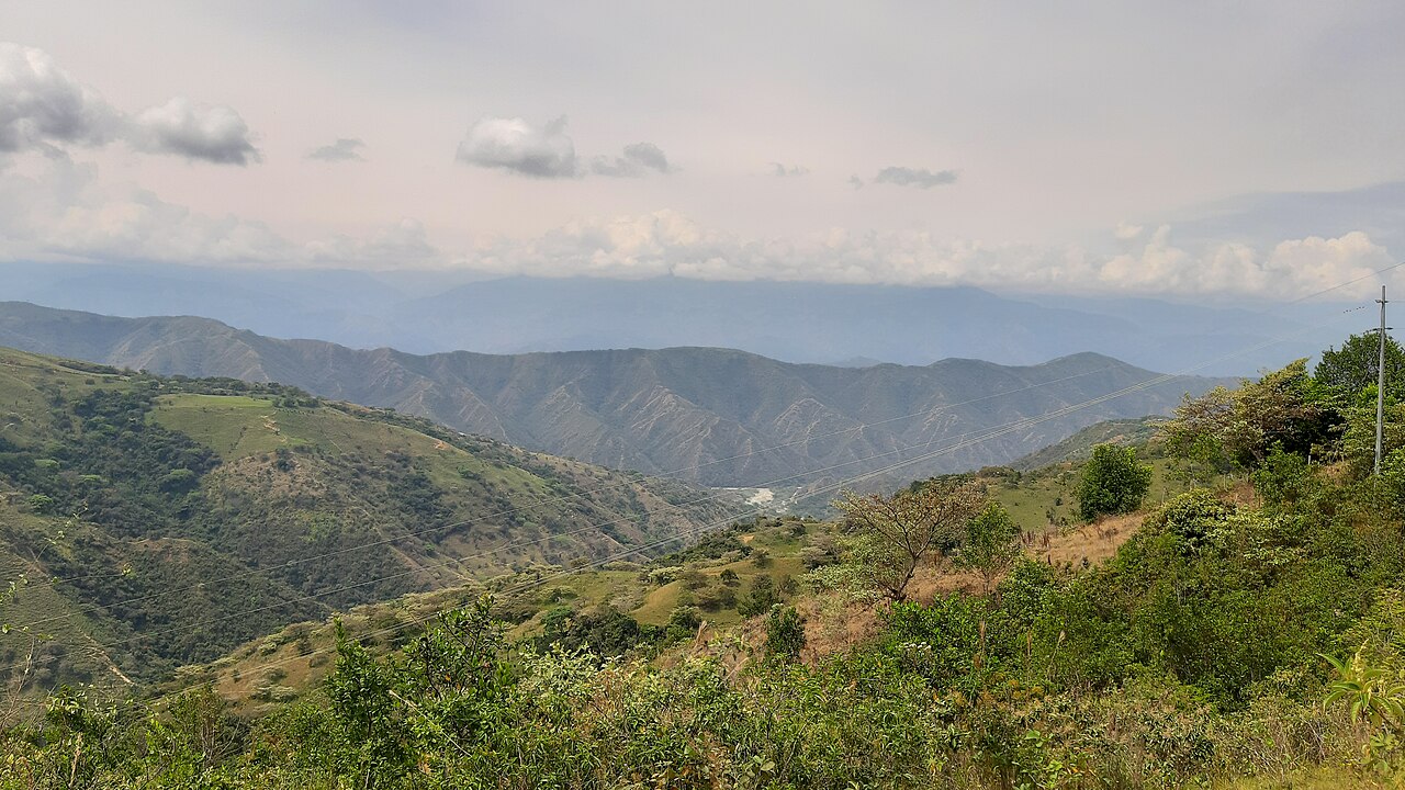
This keeps an unchecked real estate boom (land subdivisions, gated communities, hotels) from undermining agricultural planning or risk zones, which is why land for tourism will become increasingly scarce and more valuable.
Sources
- Aburrá Valley Metropolitan Area, Metropolitan Agreement 31 of 2019 (PEMOT), in the Medellín city legal database (Spanish)
- El Colombiano: Puerto Antioquia begins operations (Spanish)
- Infobae: the new Túnel de Occidente opens, August 4, 2022 (Spanish)
- Antioquia's Territorial Planning Council: Western subregion (Spanish)